Osaka · Transport
Land in Kansai, start calmly
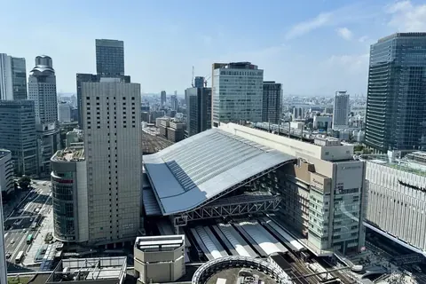
Photo: TKdows 2026 · CC0 · 2026-06-27 · cropped
Kagoshima · Explore
Begin with the volcano’s current restrictions, then consider a ferry crossing and a short port-side visit.
Plan your visit
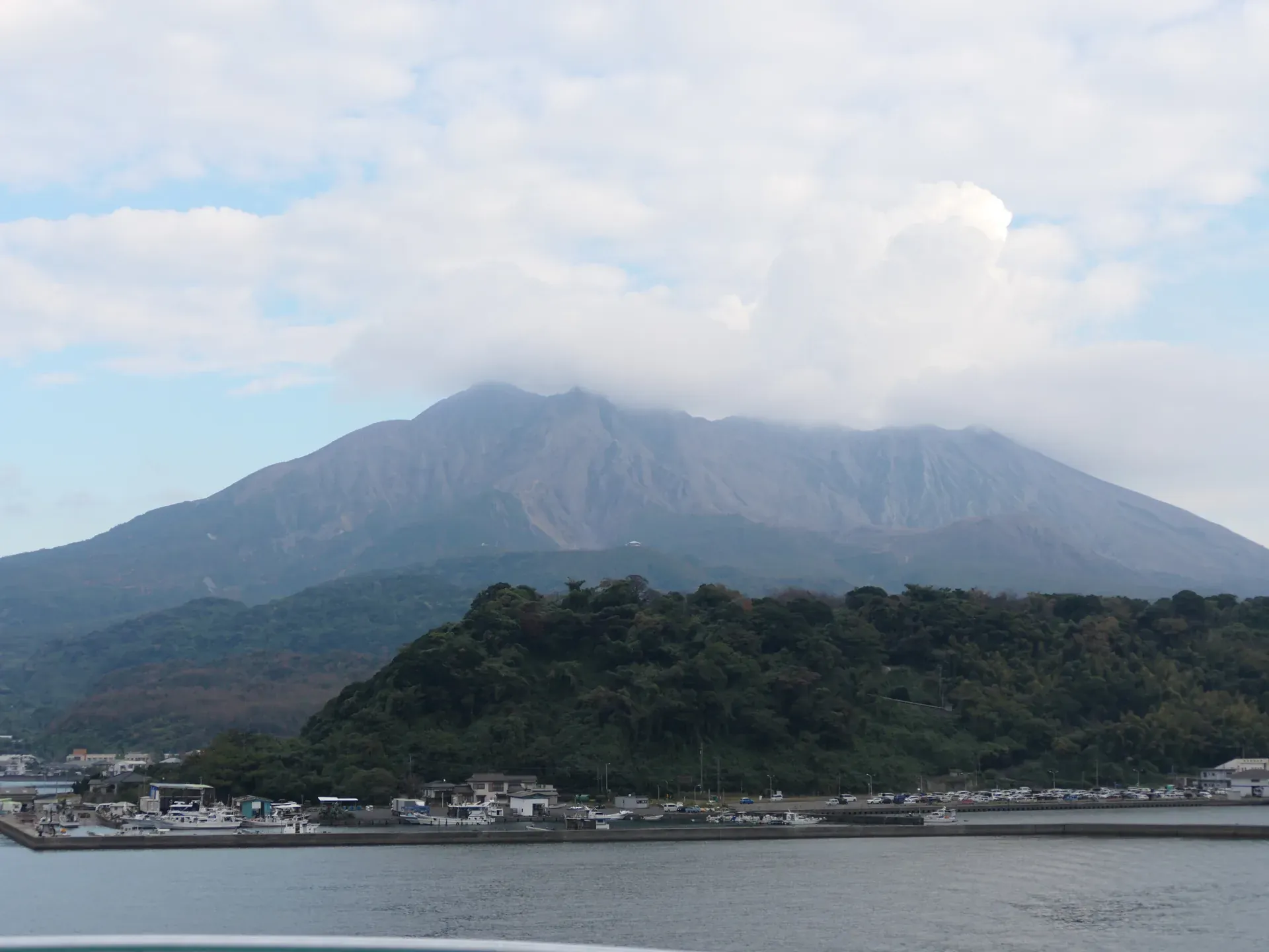
Photo: Hyppolyte de Saint-Rambert · CC BY 4.0 · 2025-12-01
Photo: Hyppolyte de Saint-Rambert · CC BY 4.0 · 2025-12-01
Take the ferry from Kagoshima Port to Sakurajima Port; the visitor centre is about a 10-minute walk from there.
Access checked: 2026-10-31
Before you go
Sakurajima is an active volcano. The JMA bulletin dated 2 November 2026, 16:00 JST, continued mountain-entry restrictions and warned of large volcanic rocks and pyroclastic flows within approximately two kilometres of the Minamidake summit and Showa craters. Ash and other hazards can affect areas farther away. Follow updated official instructions; this itinerary is not assurance of access.
The ferry connects Kagoshima Port and Sakurajima Port across the bay. Its broad mountain view leads naturally to the visitor centre, where you can check notices and learn about the landscape. Confirm current ferry services and centre access before setting out.
Near the centre, lava and recovering vegetation give the shore a geological focus. The full Yogan Nagisa promenade is roughly three kilometres; choose a manageable out-and-back rather than assuming it is all a short stroll. The nearby footbath is optional, only if available. Bring your own towel if considering it.
Planning information checked 2026-11-06. Services, access and rules can change. Confirm your date and route with the official provider.
Sakurajima from the ferry, captured 2025-12-01 according to source/camera metadata. Not a footbath photograph or evidence of present volcanic conditions.
Sakurajima from Sakurajima Ferry — Hyppolyte de Saint-Rambert, CC BY 4.0.
Processing record before this delivery update: EXIF orientation applied where present; resized and WebP encoded. Full frame retained, without overlays or cropping. Current delivery: WebP quality 80. The smallest approved WebP candidate is used; existing image URLs are retained. Each rendition retains its previous dimensions and composition; no additional crop, enlargement, colour adjustment, retouching or AI editing. Source material and prior delivery bytes are retained outside the public deployment.
Original photograph · CC BY 4.0
A dated photograph, not a claim about today's conditions. No photographer, business or transport-provider endorsement is implied.
Keep exploring
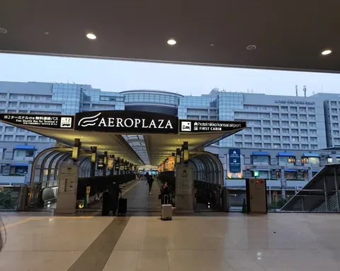
Photo: TKdows 2026 · CC0 · 2026-06-27 · cropped
Photo: TKdows 2026 · CC0 · 2026-06-27 · cropped
Photo: Sakai Yayoi · CC0 · 2026-09-24