Osaka · Transport
Land in Kansai, start calmly
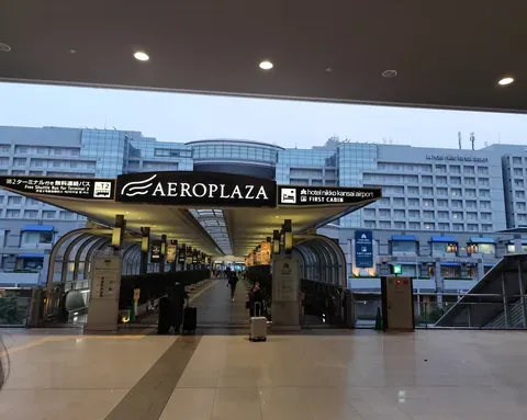
Photo: TKdows 2026 · CC0 · 2026-06-27 · cropped
Kansai · Plan
Use Osaka, Kyoto and Nara as connected choices, not a race through a checklist. Begin with a base and a few places you want to understand.
Plan your visit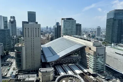
Photo: Sakai Yayoi · CC0 · 2026-09-24
Photo: Sakai Yayoi · CC0 · 2026-09-24
An overview for planning a Kansai trip. Use the individual place guides and official rail maps for destination-specific directions.
Official access ↗Planning note checked: 2026-10-31
A four-card planning guide. Not posted to Instagram.
1 / 4
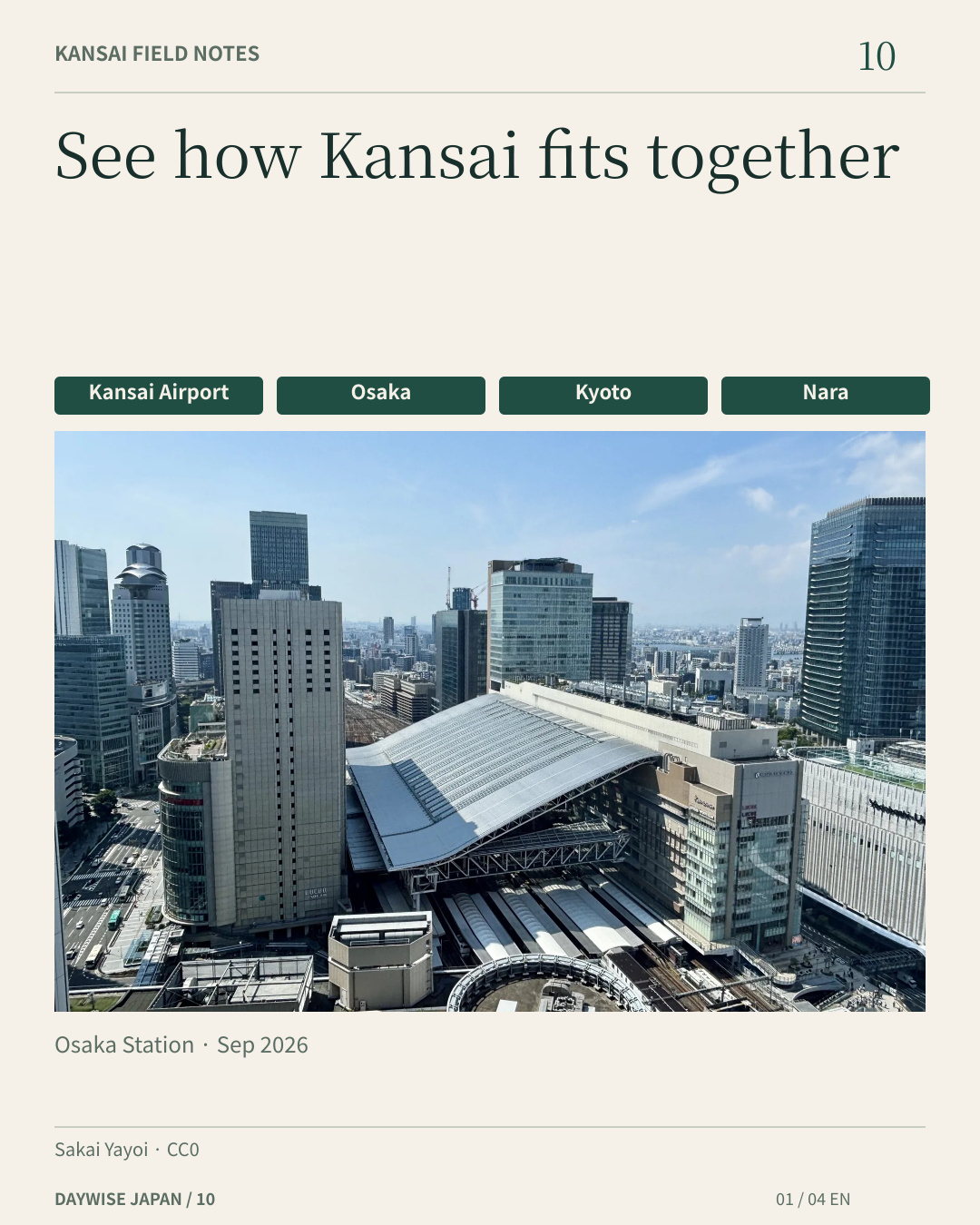
See how Kansai fits together
Kansai Airport
Osaka
Kyoto
Nara
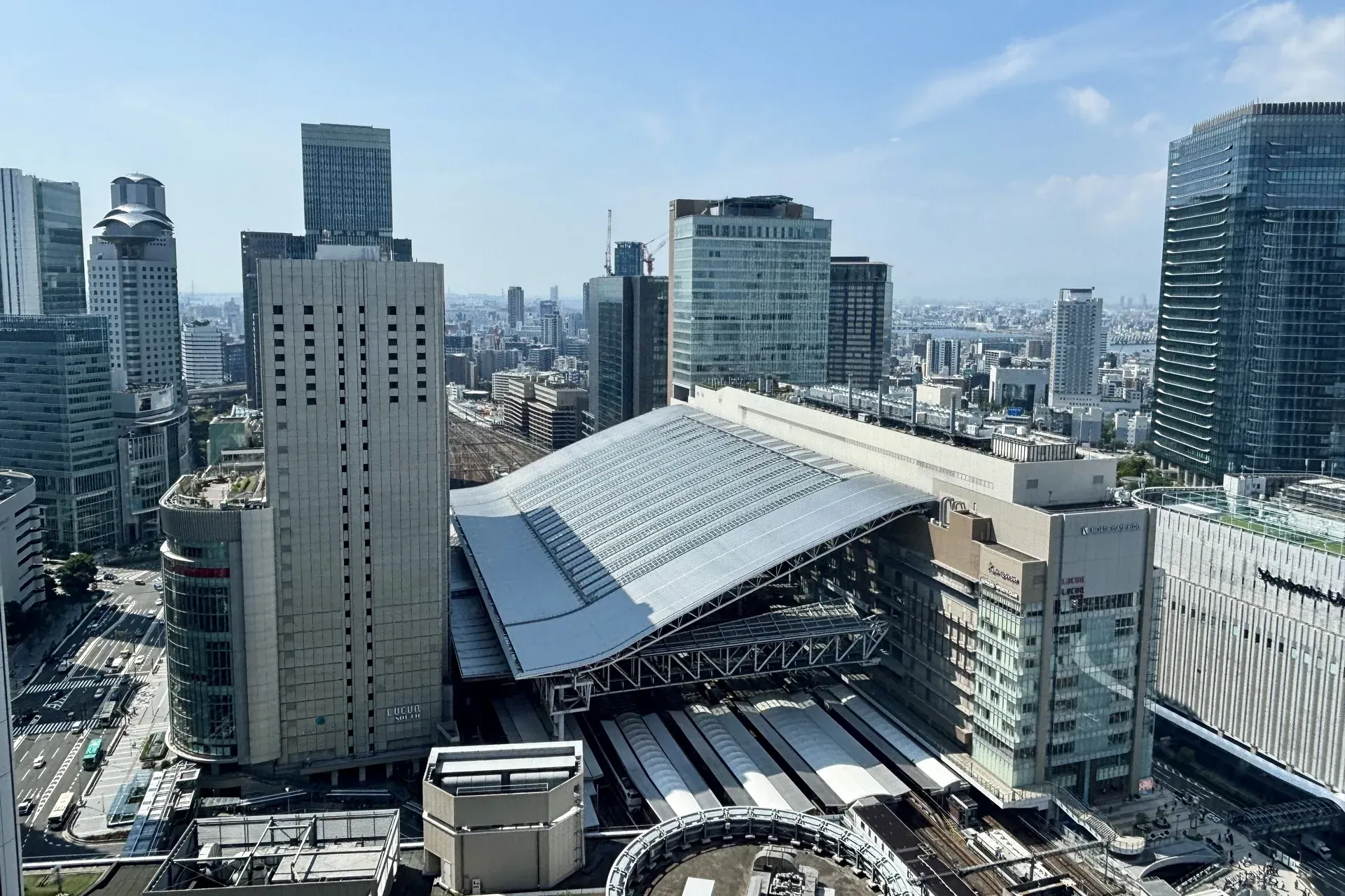
Osaka Station · Sep 2026
Planning choices, not a railway map.
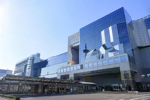
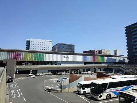
Start with your arrival and accommodation, then choose the places you most want to explore. Osaka, Kyoto and Nara are planning choices, not a one-day checklist. Check each operator, route and ticket separately. Photos show Osaka Station, Kyoto Station’s central entrance side, and JR Nara Station’s west entrance and forecourt.
Official sources (checked 2026-10-30):
https://www.osaka-info.jp/en/information/around-kansai/
https://www.westjr.co.jp/travel-information/en/plan-your-trip/routes-schedule/
https://www.kansai-airport.or.jp/en/travelguide
Photos:
JR Osaka Station 2026.jpg — Sakai Yayoi, CC0 (2026-09-24). https://commons.wikimedia.org/wiki/File:JR_Osaka_Station_2026.jpg
https://creativecommons.org/publicdomain/zero/1.0/
Kyoto-STA Central.jpg — MaedaAkihiko, CC0 1.0 (2025-06-18). https://commons.wikimedia.org/wiki/File:Kyoto-STA_Central.jpg
https://creativecommons.org/publicdomain/zero/1.0/
Nara Station west entrance (May 2026) — Sashimiteishoku, CC0 1.0 (2026-05-18). https://commons.wikimedia.org/wiki/File:Nara_Station_west_entrance_202605.jpg
https://creativecommons.org/publicdomain/zero/1.0/
Reference photos, not live conditions. Resized/encoded. Photo licenses remain applicable; text and diagrams are separately authored.
Before you go
Kansai brings together different cities and landscapes. Begin with your airport arrival and accommodation, then add the places you most want to visit. A regional route map helps with connections, but a line on a map does not mean every train is direct or that one ticket covers every operator.
In Osaka, start with a neighbourhood: Namba and Dotonbori for a street walk, or the castle park for a different setting. In Kyoto, choose an area such as Higashiyama or Arashiyama before selecting transport. In Nara, plan your station and park visit together.
These are starting points, not a promise that all the places fit into one day. Leave room for transfers, the final walk and the time you want to spend in each place.
Read the airport rail overview for your first connection, the station checklist before boarding and the local guide for the destination. Confirm current services, admission details and access with the linked official sources. No suggested number of days or travel-time guarantee is built into this overview.
Planning information checked 2026-10-30. Services, access and rules can change. Confirm your date and route with the official provider.
Osaka Station roof and the Umeda skyline. Photographed 2026-09-24, according to source/camera metadata; not a live report of present conditions.
JR Osaka Station 2026.jpg — Sakai Yayoi, CC0.
Processing record before this delivery update: EXIF orientation applied where present; resized and WebP encoded. Responsive display may crop edges. Current delivery: WebP quality 80. The smallest approved WebP candidate is used; existing image URLs are retained. Each rendition retains its previous dimensions and composition; no additional crop, enlargement, colour adjustment, retouching or AI editing. Source material and prior delivery bytes are retained outside the public deployment.
A dated photograph, not a claim about today's conditions. No photographer, business or transport-provider endorsement is implied.
Keep exploring
Photo: TKdows 2026 · CC0 · 2026-06-27 · cropped
Photo: MaedaAkihiko · CC0 1.0 · 2025-06-18
Photo: Sashimiteishoku · CC0 1.0 · 2026-05-18