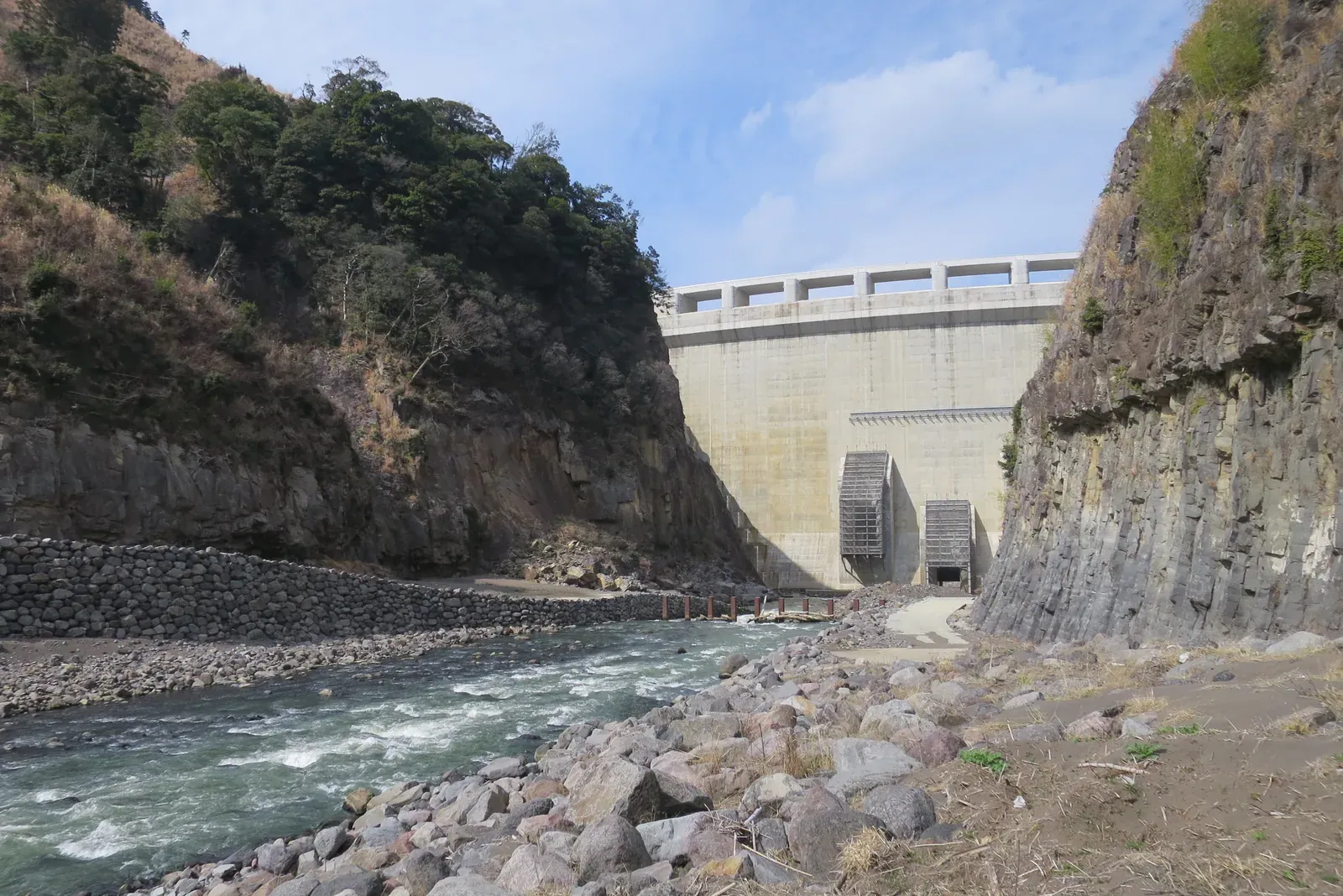
Aso Tateno Dam
A flood-control dry dam across the Shirakawa at the entrance to the Aso caldera. Normally the river continues through its base rather than forming a permanent reservoir. The concrete structure and columnar-jointed gorge offer a distinctive view of water management and volcanic terrain; public viewing is from designated facilities, not the riverbed shown here.
Current visiting conditions
The official notice reopened the dam and management-building exhibition room on 17 August 2026. This does not open the riverbed camera position or guarantee today’s tours, water flow or flood conditions. Use designated visitor areas; the former publicity room closed in March 2024 is a different facility.
Official road access to the management building: about 30 minutes by car from Kumamoto IC via National Route 57; parking and toilets are listed. A verified major-station/airport connection is not supplied. This is access to the visitor facility, not to the camera position.
Route details
- Station
- Kumamoto IC; major-station/airport connection unverified
- Before setting off
- Check travel-day transport, the return journey, opening conditions and charges. A photograph does not establish access to its camera position.
Access checked: 2026-10-31
Official sources & checks
- Official destination information
- Official access
- Current official visiting conditions
- Current official visiting conditions
Checked: 2026-10-31