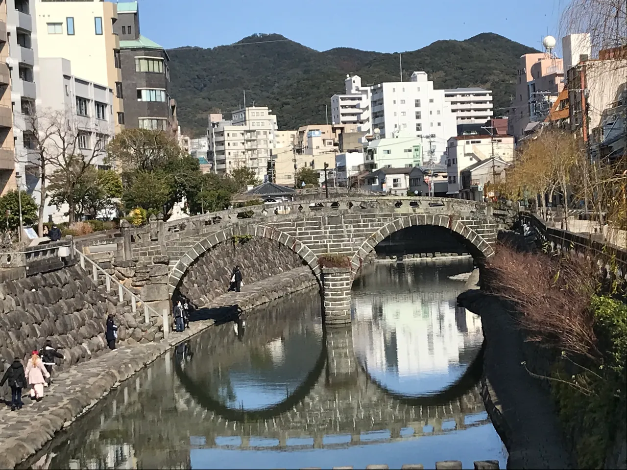
Meganebashi and the Nakashima riverside
Stone arches and reflections form a pair of spectacles. Look beyond the bridge to the river walls and surrounding city on a Nagasaki riverside walk.
Planning checked: 2026-10-31
Before you set off
Use steps and low riverside paths only when water levels and access restrictions allow; do not descend during high water or a closure.
The photograph records 20 February 2025, not current reflections, river level, crowds or weather.
What to see | Stone shapes and the bridge’s story
Compare the twin arches with their reflections, then look for heart-shaped stones in the river walls. Tradition attributes the bridge to Mokusu Nyojo in 1634, but the city explains that records were lost and alternative accounts exist. Use the photograph as an introduction to Nagasaki’s stone-bridge heritage.
Getting there | By tram from Nagasaki Station
The prefectural guide routes visitors from the Nagasaki-ekimae tram stop toward Hotarujaya, alighting at Shiyakusho and walking about four minutes. Its tram estimate is also about four minutes. This is not a total time from the JR platform: allow separately for reaching the tram stop and waiting.
Before visiting | River-edge access depends on conditions
The official guide describes access down to the river edge when water is low. Do not approach during high water or restrictions; follow on-site signs. The photograph records 20 February 2025, not current water levels, weather or lantern decorations. Recheck travel-date service and ground conditions.
Draft review: 2026-11-02. Not a live opening, service or seasonal-condition guarantee.
Original photograph & route notes
JR Nagasaki Station → your visit
- Walk from the railway station to the Nagasaki-ekimae tram stop.
- Take line 3 toward Hotarujaya to Shiyakusho (City Hall), about four minutes according to the tourism guide; walk about four minutes to the bridge.
The tram leg starts at the streetcar stop, not the railway platform. Recheck visit-day service and fares with Nagasaki Electric Tramway.
Still to verify for your visit
- Riverside access on the visit date
- Current works or temporary restrictions
- Individual model releases for incidental passers-by
A dated photograph does not establish present access, weather, availability or individual permissions.
Official sources & checks
- Official Nagasaki tourism: bridge, history and access
- Nagasaki Electric Tramway, route map March 2026
- Official municipal photo and capture date
- Nagasaki City confirms official OpenPhoto service
Checked: 2026-10-31T09:47:14.723036+00:00