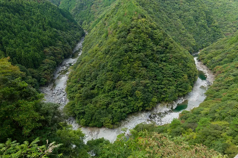
A river meander in Iya Valley
A river bends around steep, wooded slopes in Iya Valley. This image introduces the regional landscape, not a guaranteed view from a named lookout.
Planning checked: 2026-10-31
Before you set off
Tokushima Prefecture's road data issued at 01:30 JST on 6 November 2026 lists timed weekday closures for roadworks on the Yamashiro-Higashi-Iyayama road at Tanouchi, near Hi-no-ji Gorge. The affected sections have planned end dates of 3 December 2026 or 23 March 2027. Check the prefecture's current passage times and the bus operator's visit-day service information. This is a regional road notice; it does not identify the photograph's camera location.
Do not cross barriers or approach unsafe road edges to recreate the image. Foliage and water levels change.
JR Oboke Station, a gateway to the Iya area → your visit
- Reach Oboke Station on the JR Dosan Line from the Okayama or Kochi direction.
- Take Shikoku Kotsu’s Nishi-Iya Line from Oboke to Kazurabashi Yumebutai; transfer there to the Iyakei Line for the gorge area, as specified in the operator’s 1 October 2026 revision. Choose your destination and plan the return first.
This is general regional access. The exact camera location, walking route and safe standing point are unverified. No route to a named Hi-no-ji viewpoint is asserted.
Still to verify for your visit
- Original file, original EXIF and original hash
- Individual on-site photography or model releases
- Visit-day transport, weather and access conditions
A dated photograph does not establish present access, weather, availability or individual permissions.
Official sources & checks
- Official Iya regional description
- Official regional rail/bus access
- Operator route notice and timetables, revised 1 October 2026
- Tokushima Prefecture: official road-restriction information
- Tokushima Prefecture: live road-restriction map
Checked: 2026-10-31T13:41:53.101047+00:00